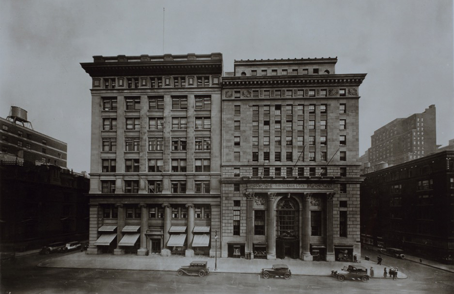
Historic photo of a building at 5th Avenue - 46th Street, from the digital collections of the New York Public Library (NYPL). Source: NYPL via OldNYC
New Yorkers can see how their favourite streets looked more than a century ago thanks to new website OldNYC. Launched yesterday, the site maps out locations captured in New York Public Library’s photography archives, some of which date back to the 1870s.
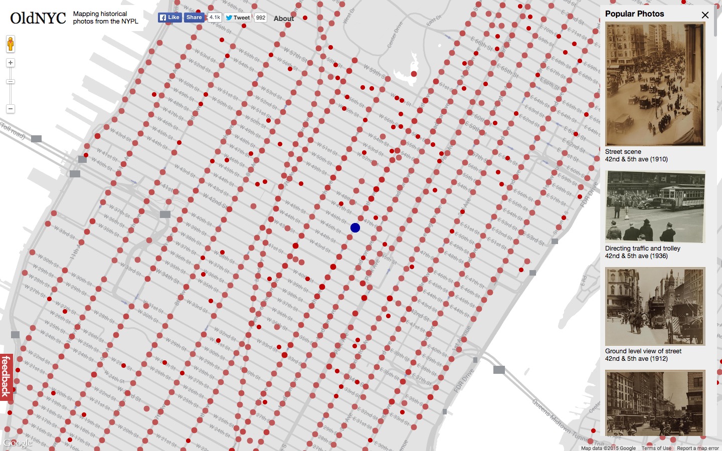
Software engineer Dan Vanderkam built the site and charted roughly 80,000 vintage photographs on a Google map of New York. He worked on a similar project for San Francisco several years ago.
‘Many photos were taken during the depression, so you see interesting things like a squatter’s colony in the East Village,’ says Vanderkam. ‘And just how rural Queens was — the areas around where JFK airport is now were farms and country roads.’
With almost every block of the city represented in his New York edition, the map also shows how streetscapes looked before the arrival of famous landmarks like The Chrysler and Empire State buildings. Others chart the construction process itself, as with the Brooklyn Bridge.

Many of the photographs were taken by Percy Loomis Sperr, who documented the changing face of the city during the interwar period. Through his and other photographers’ lenses, we glimpse New York’s architectural past and understand the city as it stands today.
Even if you’re not in the Big Apple, the service could reach your city soon. Says Vanderkam: ‘Others have expressed interested in reusing the software for their own towns, so that’s a distinct possibility.’